Mackenzie Delta Geomatics Ltd.
Premier geomatics and geospatial solutions for projects in the Northwest Territories.
Mackenzie Delta Geomatics
Proud to be a local, majority-owned Indigenous geomatics company, partnering with Indigenous Nations to support sustainable northern development. Through professional land surveying services, we foster growth, ensure responsible stewardship and drive innovation in the Inuvik region and beyond.
About Us
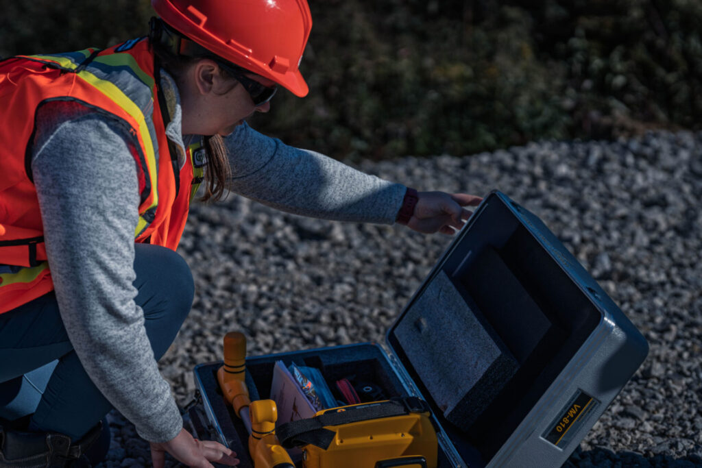
Mackenzie Delta Geomatics provides premier geomatics and geospatial solutions to pipeline, mining, industrial, oil and gas, transportation, infrastructure and energy projects in the Northwest Territories. Approved to work on Canada Lands Survey Projects, our core services include construction, topography, monitoring, layout, laser scanning, drone services, line locating, and legal land surveys. MDGL utilizes local (Inuvik) field and management resources when available, plus additional office, management, and field resources available from GeoVerra, as required.
Our Services


Our Expertise
Projects We’re Proud
to Be Part Of
- Inuvik to Tuktoyaktuk Highway (ITH): 2013-2017 (Northwind Industries Ltd)
- Various Dempster Highway Widening Projects: 2013-2023 (Northwind Industries Ltd): 2013-2023
- Inuvik Sanitation Outfall: 2018 (Beaufort Mechanical Services Ltd)
- Inuvik Airport Road Rehab: 2018-2020 (Northwind Industries Ltd)
- Inuvik Airport Expansion Project: 2022-2024 (EGT-Northwind Ltd)
- ISSF Road Rehab Project: 2022-2024 (Northwind)
- Inuvik High Wind Project: 2023 (NT Energy)
- Inuvik Subdivision Utilidor System, Block 34 & 94: 2024 (Beaufort Mechanical Services)
Communities We Operate In
Inuvik and Beaufort Delta Region communities across the NWT.
CONTACT
Phone: 867-678-2980
Corey Wainman:
President, MDGL | corey.wainman@mdgeomatics.com
Damian Gillis:
CLS, Director, MDGL | damian.gillis@mdgeomatics.com
Chase Sabot:
Manager, MDGL | chase.sabot@mdgeomatics.com
Contact Form
We’re ready to support you and your project. Just tell us how we can help you by filling out the form below.